Spring and fall are the best times to walk the trail, but everything’s open in the summer, too. Going in the winter is problemmatic because the trail is officially “closed” from late November until early February. This doesn’t mean you can’t walk it during the winter; it’s not gated. But you might not find anyone else on the path, there could be snow and ice along the way and finding a place to stay’ll a bit iffy since none of the homestays along the way are expecting visitors (call ahead first).
I was worried that the trail would be full of people and that it might be hard to find a place to stay without making advance reservations when the weather’s nice, but so far this hasn’t been an issue. In fact, there just aren’t that many hikers on the Chirisan Doollae-Gil at any time of year, and you can expect plenty of time to yourself out on the trail.
The section numbering system means nothing and it’s unfortunate that it encourages people to start at Section 1 and work their way through sequentially. There’s no reason to start with any particular section and you can get the same experience by walking either clockwise or counter-clockwise.
What to Take
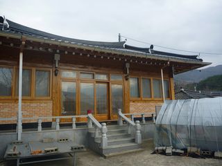
The Chirisan Doollae-Gil runs from village to village, and there are homestays (민박) at the ending/starting points of every section, and in some cases, between section ends, too. Though a grocery store can be frustratingly hard to find sometimes at the moments one wants a drink or bite to eat, facilities really aren’t very far away and so, other than plenty of water and a few snacks for the trail, it’s not necessary to go with many supplies. In fact, cooking one’s own meals on the trail is illegal anyway (due to concerns about forest fires), so just planning to eat at stalls or restaurants – or at one’s homestay in the evening – is the best way to enjoy the trip.
These are the items on my to-take list when I leave my home near Seoul on a Saturday morning, to return Sunday afternoon:
- One change of clothes for hiking (in addition to the hiking outfit I’m wearing when I set out)
- Hat and sunscreen (for the sun); umbrella (if rain is likely)
- Phone with Internet access, and a Chromebook
- Camera
- Glasses/contact lenses, deodorant, toothbrush (there’ll be toothpaste, soap and shampoo at the homestay)
- Small towel
- Reading material (for the bus ride), pen and a notebook (for taking notes)
- Chirisan Doollae-Gil map, guidebook and trail stamp book
- Wallet with cash
Things to buy right before heading down the trail:
- A bottle or two of water
- Snacks for the trail (enough to tide me over if I can’t find a place to eat until reaching a homestay in the evening)
- A bottle of soju (optional!, but not as bad an idea as it might sound)
What it Costs
If you take a bus from the Seoul area and avoid taxis, it shouldn’t cost more than W25,000 each way, even if having to change buses twice.
Lodging
The standard homestay (minbak – 민박) price is apparently W30,000 for one person or W40,000 for two. A nicer spot might ask for W40,000, but I stayed in one bare-bones room that only cost me W20,000. The starting/ending point of every section of the trail has at least one homestay and often it isn’t possible to find any other options, even if wanting to spend more for a nicer place.
Snacks for the trail might run you W10,000. The homestay will probably charge W5,000-7,000 for dinner. Add W3,000 for a bottle of soju with dinner. If you grab lunch near a bus station somewhere, budget in another W5,000 or so. Keep in mind that it’s not easy to find more expensive places than this even if you want to spend more.
How to Get There and Back
Whatever you do, don’t take a car. With a car, you’ve got to find a place to leave it and then after walking a section or two, you’ll have to find a way to get back to where you started again. Buses don’t run that way, and so you’ll be left taking a taxi to get to your vehicle, which won’t be cheap if it has to circle around the country roads to get there.
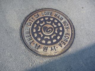
I strongly recommend that you take the bus and/or train to Chirisan. It’s fast and convenient. For the northwest sections, your best jumping off point is Namweon. For the northeastern paths, go to Hamyang or Sancheong. For the southeast, Jinju; and for the southern and southwestern parts of the Doollae-Gil, try Hadong or Gurye. There are lots of buses from these stations to Seoul and other major (and even some minor) cities. For example, there are direct buses from Hamyang to the bus station near my home in Ansan. If your locale doesn’t have direct buses to all of these cities, you’ll certainly be able to get a bus to Cheonju in the west or Jinju in the east, and from there, you can bus to these jumping off spots.
From Namweon, Hamyang, Hadong or Gurye, there will be local buses going to anywhere on the Doollae-Gil (though sometimes with another bus transfer – for example, from Hamyang to the eastern sections, a bus to Sancheong or Weonji is the next leg on the journey before the final country bus ride), though they might not go all that frequently. If you miss a bus that doesn’t go all that often, a taxi is your next option, and may not be very expensive if you’re nearby.
From my place in Ansan to nearly all destinations on the north and eastern sides, I budget about five hours from door to trail, including bus transfers.
Other Information
The best website in English is Chirisan Dullaebogo at https://eng.jirisantour.com/ [EXPIRED LINK REMOVED: https://eng.jirisantour.com/] (Korean version: https://www.jirisantour.com/)
Korean-only sites:
- Official site of the Chirisan Doollae-Gil [EXPIRED LINK REMOVED: https://www.trail.or.kr/]
- Sections of the Chirisan Doollae-Gil near Namweon [EXPIRED LINK REMOVED: https://jiriroad.namwon.go.kr/info/info.html]
- Sections of the Chirisan Doollae-Gil near Gurye
- Sections of the Chirisan Doollae-Gil near Sancheong [EXPIRED LINK REMOVED: https://tour.sancheong.ne.kr/forward.do?page=020501]
- Sections of the Chirisan Doollae-Gil near Hadong[EXPIRED LINK REMOVED: https://tour.hadong.go.kr/01color/05_09_02.asp]
- 둘레길 [EXPIRED LINK REMOVED: https://www.dulegil.com/]
When I was worried I wouldn’t be able to find a place to stay for the night, I called the tourism office of the local area and got the number of a homestay at my planned destination for the night. I called and made my reservation, but when I offered to wire the payment, the lady said it wasn’t necessary. And when I showed up, it was clear to me that they don’t get many visitors and the reservation wasn’t necessary.
I’ve still been worried that I’ll be stuck out on the trail and all the rooms at a particular location will be taken. In fact, I brought this question up with the owner of a homestay where I managed to get the second to last room one night. She said that even if her place was full, she’d have called around and found a place for me to stay nearby. I asked her what to do if I reach a destination without a place to stay and without someone as helpful as her around, and she suggested I ask for the head of the village (이장), who would more than likely want to help me out if necessary.
In a worst-case scenario where there really isn’t anywhere to stay, check out the nearby bus stop. Even if the last bus of the day has already departed, the bus stop will have the phone number of a local taxi service which can send a car out to pick you up. This will undoubtedly bust the budget mentioned above, but would probably still not be more than W30,000-40,000 at the most.
Since I have yet to not find a place to stay and since reserving a room in advance restricts my options if I change my plans and want to go somewhere else, I’ve about decided not to make any advance preparations. Just showing up and buying bus tickets, picking a place to eat or finding a place to stay for the night spontaneously seems to be the most enjoyable way to experience the Chirisan Doollae-Gil.
I’ve walked past some dogs that made me feel nervous. Nothing’s happened, and it’s not reasonable to expect the locals to always keep their animals on leashes, but it’s a bit of a concern.
There’s said to be much more snow on the northwest side of the mountains in the winter than on the southeast side, so if you’re walking in the winter and aren’t ready for ice and snow, you might keep this in mind.
There are signs everywhere asking walkers to remember not to pick the crops. It is apparently a big concern of the local residents that people will eat their food as they walk by, and the paths do go right up to the edge of the fields. Please respect the private property and don’t touch what others are growing.
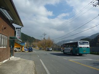
If you’ve been dazzled by the conveniences, refinements and excitement of the large Korean cities, be sure to adjust your expectations when heading out to the Chirisan Doollae-Gil. These are the boondocks and the lodging, food and transportations selections are limited. Be ready for rustic surroundings, cuisine and accomodations (though cell phone service works everywhere!)
The guidebooks and websites estimate approximately how long each path takes to walk. I find that the sections generally take about 25% less time than budgeted if walking at a comfortable pace without resting excessively.
Get Yourself a Stamp Book
For W10,000, you can sign up at one of the information centers along the trail for a stamp book. As you follow the circuit around, the various information centers will each put a stamp in your stamp book, and once you’ve gotten all the stamps, you can send it in to the Hadong Information Center and they’ll mail you back a certificate of completion. If you missed any stamps along the way, show up in Hadong with your book and tell them where you went and they’ll give you the stamps you didn’t get before. They’re supposed to verify with photos you’ve taken, but when I showed up, the lady just took my word for it.
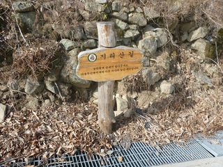
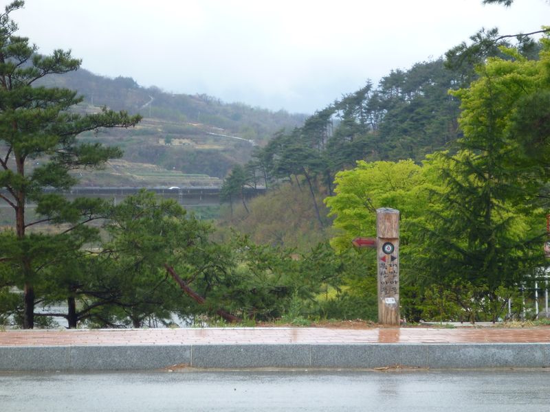
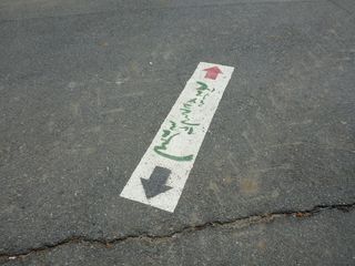
There are signposts all along the trial showing the path. Red arrows indicate the clockwise walking direction and black arrows are for counterclockwise, so once you’ve picked your direction, make sure to follow the right color.
In addition to signposts, you’ll occasionally come across signs painted onto the road. These are also helpful.
It’s generally not hard to find the right path, but occasionally it can seem a bit tricky. Keep your eyes peeled and stay attentive to the signs in order to avoid taking a wrong turn and walking further than you need to.
