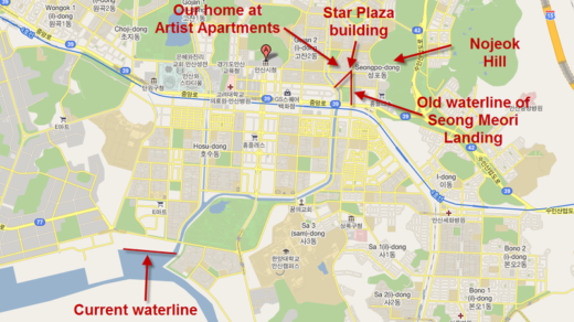
I found this map section in a map of the Seoul area over at the Korean War Project. It shows Ansan from around 1950.

Here’s what the identical map section looks like today in Google Maps:

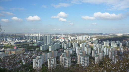
Note how many of the location names in the map above correspond to neighborhorhoods in the new map (notwithstanding some spelling differences.) The comparison also shows just how much of the sea has been filled in to make room for the city today.
For reference, the subway line in the current map follows the rail line shown in the old map that was built during the Japanese colonial period to connect Incheon with Suweon. Both lines are shown in red in the comparison map below and some of that old line still remains along the tracks of the subway.